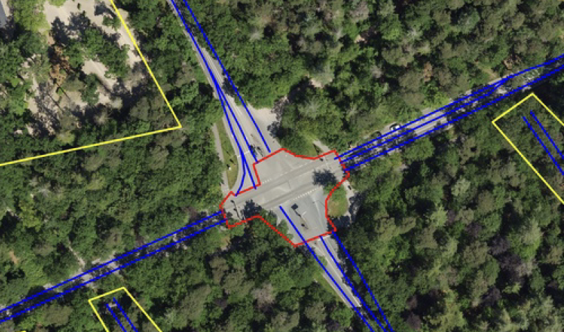
Automated extraction of intersection topologies from aerial and street-level images is relevant for Smart City traffic-control and safety applications. The intersection topology is expressed in the amount of approach lanes, the crossing (conflict) area, and the availability of painted striping for guidance and road delineation. Segmentation of road surface and other basic information can be obtained with 80% score or higher, but the segmentation and modeling of intersections is much more complex, due to multiple lanes in various directions and occlusion of the painted stripings. This paper addresses this complicated problem by proposing a dualistic channel model featuring direct segmentation and involving domain knowledge. These channels are developing specific features such as drive lines and lane information based on painted striping, which are filtered and then fused to determine an intersection-topology model. The algorithms and models are evaluated with two datasets, a large mixture of highway and urban intersections and a smaller dataset with intersections only. Experiments with measuring the GEO metric show that the proposed late-fusion system increases the recall score with 47 percentage points. This recall gain is consistent for using either aerial imagery or a mixture of aerial and street-level orthographic image data. The obtained recall for intersections is much lower than for highway data because of the complexity, occlusions by trees and the small amount of annotated intersections. Future work should aim at consolidating this model improvement at a higher recall level with more annotated data on intersections.
Julien A. Vijverberg, Bart Beers, Peter H. N. de With, "Fusing Segmentation and Domain-knowledge Model to Extract Intersection Topologies From Aerial/Terrestrial Orthographic Images" in Electronic Imaging, 2024, pp 114-1 - 114-6, https://doi.org/10.2352/EI.2024.36.17.AVM-114
 Find this author on Google Scholar
 Find this author on PubMed