Halo GmbH, Austria
VRVis Research Center, Austria
 Find this author on Google Scholar
 Find this author on PubMed


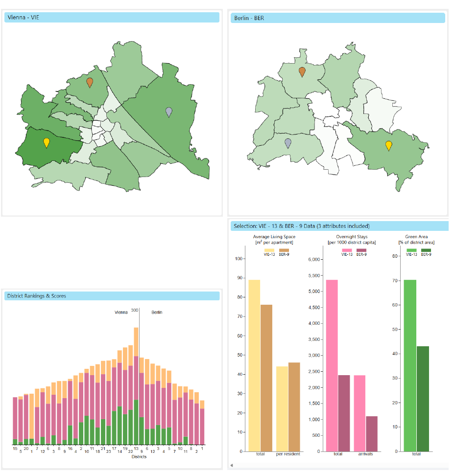
Urban data is increasingly available to the public, but making it accessible and useful for non-expert users remains challenging. Interactive visualization offers a powerful means to explore such data, particularly for tasks like comparing districts within one or between two cities, a common scenario for students relocating, tourists planning a trip, or citizens considering moving. Due to the varied interests and priorities of individuals, developing a universally applicable solution is demanding. In this work, we propose an approach that enables visual, weighted comparison of city attributes. We first abstract analysis tasks and derive corresponding design requirements, and then present a coordinated multiple views system that allows users to compare different weighted attributes across districts of two cities. The system integrates linked views that support selection, weighting, ranking, and detailed exploration of urban data. We demonstrate the usefulness of our approach through a comparison of Vienna, Austria, and Berlin, Germany, and validate it with a pilot study, which received very positive feedback. Our results indicate that the proposed approach supports casual users in exploring urban data effectively while allowing flexible, personalized comparisons.
Joshua Pola, Krešimir Matković, "Urban Data for Everybody: Visual Comparison & Multi-attribute Ranking for Casual Users" in Electronic Imaging, 2026, pp 348-1 - 348-10, https://doi.org/10.2352/EI.2026.38.1.VDA-348